Reading Out Loud
Focused Elements:
You can have these explanations read out loud by clicking on 'Speak Explanation' (access key 'a')
These controls are to provide alternative means of accessing the information on this page. Two main facilities are provided: adjusting the text size and listening to the text on the page.
1) Adjusting Text Size:
You can increase the text size by clicking on 'Larger' (access key '+'), and reduce it by clicking on 'Smaller' (access key '-'). You can reset the size back to its original value by clicking on 'Reset' (access key 'j')
2) Listening to the Text
You can adjust the pitch of the spoken word, the rate or speed of delivery and the volume. You can also choose the voice to use by clicking on the drop-down list. The default voice is whatever is the standard for the computer and browser you are using.
To set your default, please refer to the description in the Accessibility Statement.
There are normally three sections of text on the page that you can listen to: the headings, the main text and a selection. Click on 'Speak Headings to speak the page headings (access key 'l'). Click on 'Speak Main Text' (access key 'q') to listen to the main text.
You can also select an area of text in the page using standard select methods and click on 'Speak Selection' (access key 'w') to read the selection aloud.
You can enable the reading out loud of the element that currently has focus by clicking on 'Start Focus Speaking' (access key 'f') and you can stop this by clicking on 'Stop Focus Speaking' (access key 'd').
You can pause the audio by clicking on 'Pause' (access key 'r') and resume by clicking on 'Resume' (access key 't').
To cancel or stop the audio click on 'Cancel' (access key 'y'). To restart the current audio from the beginning, click on 'Restart' (access key 'k').
To hide the accessibility controls click on 'Hide Panel' (access key 'h')
To hide this explanation click on 'Hide Explanation' (access key 'x')
Widecombe-in-the-Moor
A Day Out in Widecombe


Click on any picture to view a larger image, then click on 'Back' at the top of your browser in order to return to the text.
For a map of the area covered by this walk, please click here.
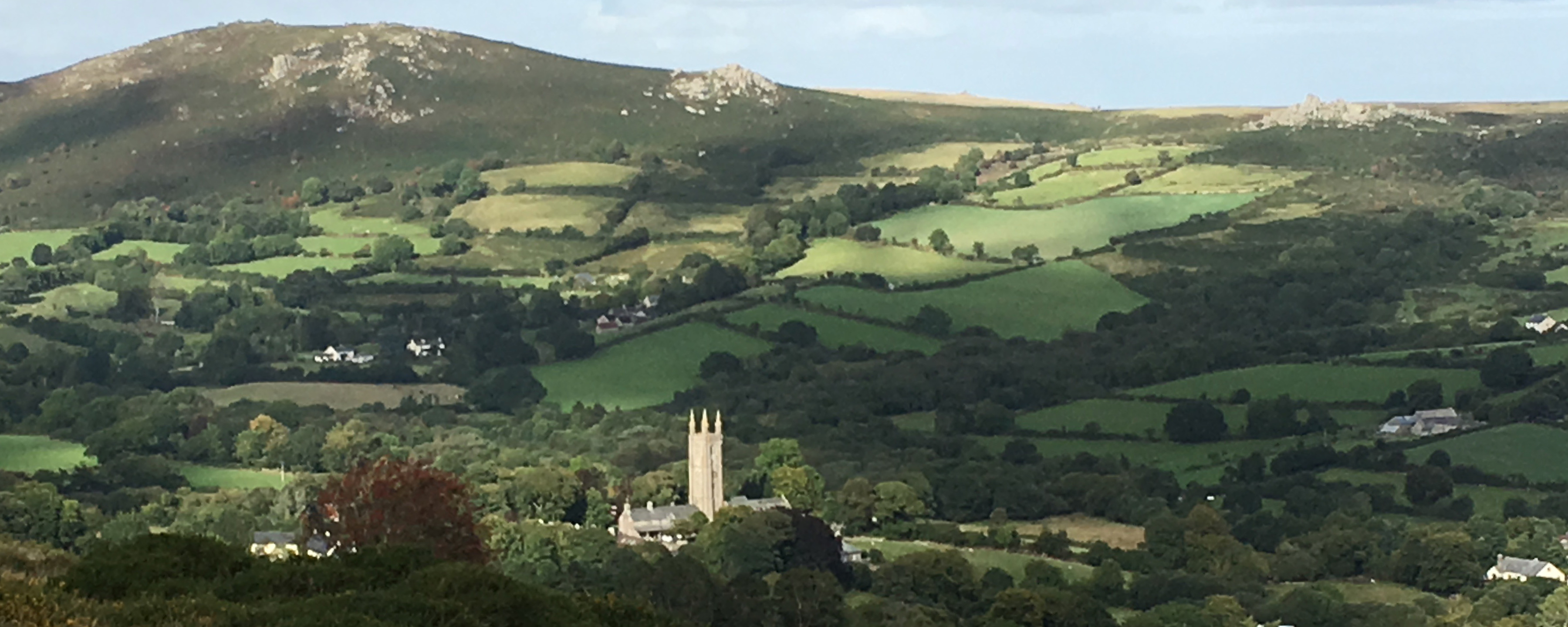
 After you have parked in the car park, have a wander around the village green. There will probably be some ponies or cattle grazing on the grass. Also have a look at the village sign which is just on the other side of the road. There is also a good view of the church from here.
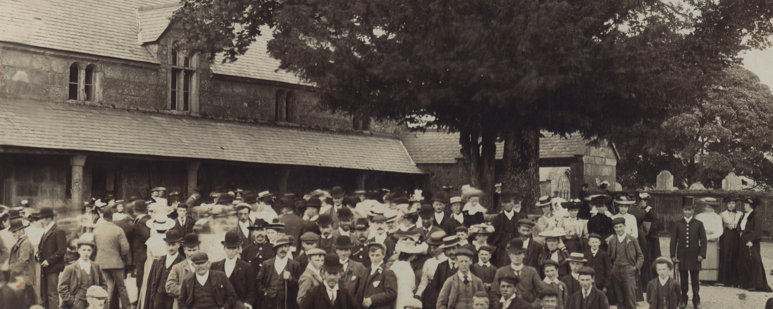
 Walk on around the corner and you will see the square. This leads into the church, which is well worth a visit. As well as being a place of worship, it also houses many items relating to the history of Widecombe. The tower is an important part of the local landscape, but has been severely damaged by the harsh (and wet) Dartmoor weather and has recently completed an extensive repair. Many local families have members buried in the churchyard. Many of the names on the gravestones and in the church are still common today. Some families have been associated with Widecombe for 400 years plus. With such beautiful surroundings, why go anywhere else?
 Also fronting the square is the Church House and the Sexton’s Cottage, now a National Trust Shop. Please visit the shop for their local booklets and other NT-ware.
If you walk down the lane that runs south from the square (carrying on the same road as you were on before), you will come to the Old Rectory on your left with its mounting block or 'uppingstock' and, on the right, the Saxon well and the old pig-house (which we hope to restore at some point).
You can continue down this road, but for now we will retrace our steps. When you get back to the square, turn to the right and follow the lane down the hill. You will cross the Webburn (at this point there is a small footpath to your left which leads along the river back to the Widecombe Hill Road, this path was apparently trod by the mariners when they were walking between Bideford and Dartmouth - see Walking Dartmoor’s Ancient Tracks by Eric Hemery. However, if you continue on around two bends you will encounter the Rugglestone Inn. This became an inn when the one on the Ashburton Road,Newhouse, was reputedly burnt down by the local women who were tired of their menfolk spending too much of the money they had earned at market before they got home.
The Rugglestone Inn is a delightful and welcoming small inn serving excellent beer and food. Enjoy it!! The garden area is perfect in good weather.
If you carry on along this road you will come to Venton, which is where Beatrice Chase lived. Further on still you will reach Chittleford, home of Shilstone Rocks Stud and riding stables. Well worth taking one of their pony treks. Turn right off the road at Chittleford and follow the lane round you will again cross the Webburn and on going up the (small) hill, you will reach the hamlet of Dunstone. Observe the Dun Stone itself and the Dunstone Cross. Whilst here be wary of the strange inhabitants. Carry on up the lane, when you reach the main (!!) road turn right and it is ¾ mile from here back into Widecombe. (total round trip excluding pub stop time - 45 minutes).
As an alternative, don’t turn off at Chittleford, but go on up the hill. This will bring you to Pudsham Down, again with good views on the way up back to the village. Continuing along the road, you will come to a junction. Turn left, and descend down to Blackslade Water (Brook).  A lovely place to stop in the car park and muse. Walk up to the north from the car park higher than, but parallel with, the brook, dropping down to the brook when you reach a trackway. You will come to Blackslade Ford. Walk along the track over the ford (small diversion required here to avoid getting wet!). About 200 yards further on you will come to the remains of an old longhouse. A little further on, you may be lucky and spot the Kistvaen (Cist). You may also want to walk on to Foales Arrishes, but watch out for the mire on the way. Back at the car park, head on up the road (east). You will come to Cold East Cross. Another good walking source both north, across Blackslade Down, and south, towards Buckland Beacon. When you come out of the car park, turn left and at the cross roads turn left again. After a couple of miles, this will bring you to Hemsworthy gate, but not before you have passed the ruins of Newhouse (the burnt down pub). If you turn right at the gate, it will take you past Haytor and down to Bovey Tracey (probably the way you came). Turn left however to return to the village, for that welcome cup of tea (or stronger).
 If you can’t face all that just yet, however, retrace your steps from the Rugglestone and return to the square. Directly ahead of you is The Old Inn, really the New Inn but who’s worried? Here again you can get a substantial meal. Perhaps make a note for later.
If you go south again, past what used to be the Post Office and now is Manor Cottage and carry on walking, you will pass Widecombe School on your right. On your left is the field where Widecombe Fair is held every year. Keep walking and after a short distance take the first turning right. This is Southcombe Hill. It is pretty steep but well within your capabilities, I am sure. This leads up to Hameldown and Wind Tor Ridges. From here there are lovely views back over the Widecombe valley and beyond to Hay Tor  and Rippon Tor. You can walk along the Hameldown ridge as far as Grimspound, if you want. You will pass Church Path which is the way the out-of-parish villagers from the west used to go to church once they had been allowed to (previously they had to go all the way to Lydford - just check that out on the map!).
Back in the village it must be time for a cup of tea. After this carry on up Widecombe Hill. Spot the view of the church mural. 
 Once you are at the top there are superb views of the valley and again splendid walks along the ridge, via Top and Pil Tors, and if you are keen, on to Tunhill Rocks.
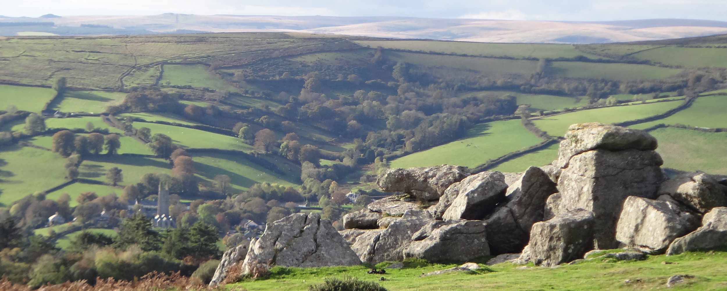
Another route you can follow is to turn left before you go up Widecombe Hill just outside the village. This leads to Bonehill (or Bunhill). You will pass through the hamlet and on up to Bonehill rocks. Left (north) from here is another lovely walk up to Bell and Chinkwell Tors and then on to Honeybag Tor. You are following the valley by walking along its eastern edge at the top. Lovely views on both sides including Hound Tor and Hay Tor.
Now, back in the village, it is time to browse around the shops (there aren’t that many so it shouldn’t take long). Then some refreshment and maybe you can think about going home or on to your next stop.
A possible and worthwhile next stop is Dartmeet, on the road between Ashburton and Princetown. This is a lovely spot on the border of the parish. the Dart River is especially beautiful at this point. Also, the Badger's Holt restaurant/cafe is a perfect watering hole.
We hope you enjoyed yourselves!!! There is really too much to do for one day, so come back again soon!!
Artefact Hunt
As an alternative (or in addition) to the above you can do one or more of several artefact hunts that highlight man-made objects that can be found around the parish including up on the moor and close to Dartmeet.
The information on this page was last modified on March 04 2024 14:13:43.


